For a Professional GPS Mapping Service in the Brisbane, Redlands, Ipswich, Logan or Toowoomba areas, call us today to discuss your requirements on (07)37155444 or email sales@heritagetreecare.com.au
Heritage Tree Care is delighted to offer a complete GPS mapping and data collection service. The work is undertaken by a Level 5 Certified Arborist who has been comprehensively trained in the latest GPS mapping technology.
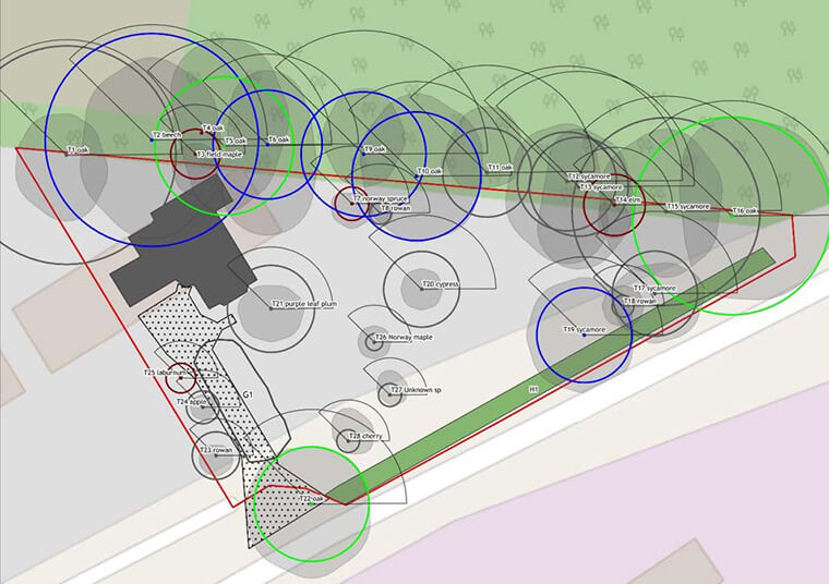
Using a Trimble R2 Sub Meter Collection Device to gather data, we will then plot the results onto any Cad plan, aerial photograph or satellite image of your site including Google Earth, Google Maps or Near Maps, as your base plan. We can then scale it to size and draw accurately over it. We can ID label every tree and link each tree to any fields of data. We can also draw canopy size, draw Structural Root Zones (SRZ) and the Tree Protection Zones (TPZ) onto the plans or maps.
We provide:
- Tree Surveys
- Tree Protection Reports
- Plant Inventories
- Site Mapping
- Positioning and Recording Data
- Identification of Pest and Disease
- Endangered and Protected Plant Identification Survey
- Quantifying Arboreal and Vegetative Assets
- Department of Environment and Heritage Protection Flora Surveys
